
Mapping Stormwater Flow in the Village of Bayside

By Jen Linse
For the last year, Sweet Water has been working with the Village of Bayside, Kapur & Associates, Birchline Planning, and Hey & Associates to map and assess the current flow and drainage of stormwater in the Pelham Heath neighborhood. Funded by a grant from the Fund for Lake Michigan, the project includes:
- educational opportunities and neighborhood meetings to learn about stormwater and the purpose of stormwater ditches
- social mapping to locate areas of flooding
- flow path modeling to map and assess the flow of stormwater through the Pelham Heath Neighborhood
- a collaborative design process wherein stormwater runoff ditch designs are explained and discussed with the public
- an outdoor classroom which allows residents to view green infrastructure designs constructed in stormwater ditches.
Next Steps
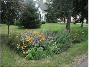
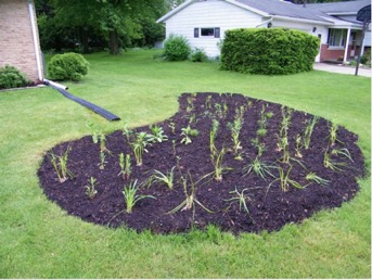
A Green Infrastructure Outdoor Classroom
The Village of Bayside will be working with Kapur & Associates over the summer to build three green infrastructure designs on King Road including a bio-retention feature, bioswale and rain garden. These constructed examples will serve as an outdoor classroom for Village residents to view and better understand how green infrastructure installed in stormwater ditches and areas prone to flooding can help ease flooding and improve water quality.